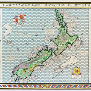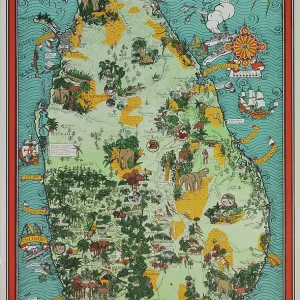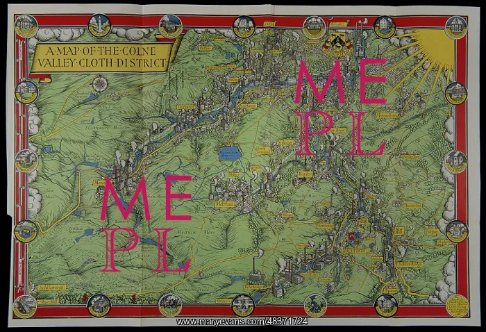
A map of the Colne Valley Cloth District
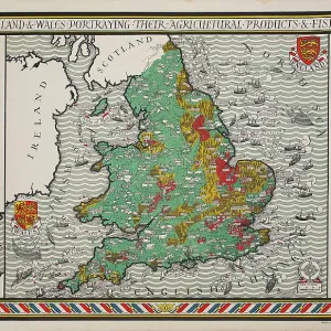
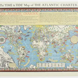
Pictorial map of the Colne Valley Cloth District in Yorkshire, drawn by the poster artist and designer Leslie MacDonald Gill the year before his death, in 1946. This unusual industrial map depicts prominent sites associated with textile production in the region and includes the crests of Huddersfield and Holmfirth together with prominent local landmarks. It was originally included as a foldout map in the publication Colne Valley Cloth, From Earliest Times to Present Day by Phyllis Bentley (1947)
Picture No
13748182
Media ID
48371724
Size
3955px x 2703px
(2.6MB)
Credit
© The Twentieth Century Posters Collection / Mary Evans
Source
Designed by Leslie Macdonald Gill (1884-1947), published by Huddersfield & District Woollen Export Group
Date
1946