

 : A Map of England & Wales


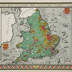
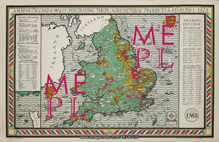
A Map of England & Wales

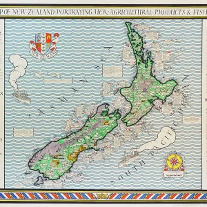
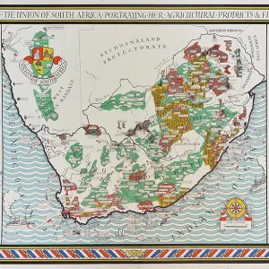
A copy of the Empire Marketing Board poster for England and Wales designed by Leslie MacDonald ('Max') Gill, 1928. This proof is from a series of seven poster maps celebrating the produce of the British Isles and its Dominions (namely South Africa, Canada, New Zealand and Australia). This incredibly rare survivor came from the estate of MacDonald Gill and would have been retained as a reference copy

Picture No
13748185
Media ID
48376121
Size
4739px x 3062px (6.5MB)
Credit
© The Twentieth Century Posters Collection / Mary Evans
Source
Designed by Leslie Macdonald Gill (1884-1947), published by Empire Marketing Board
Date
1929

Pick your License

Please tell us the book title or ISBN

Please supply intended use


Dominions Gill Incredibly Isles Marketing Namely Produce Proof Publisher Reference Retained Survivor


Features In These Collections

> Contributors > TPO

Gallery Wall Inspiration

New Toys for Sale
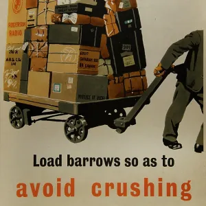
Load Barrows so as to Avoid Crushing
Cinderella
A Map of New Zealand
Help the Shunter
Appropriate Frowarding Documents
Examine all Rail Vehicles
Remove or Cancel all Old Labels
Somerset
Save for Defence
East Coast Types No.6. The Donkey Boy
Sri Lanka - Ceylon. Her tea and other industries
Dorking by Motor-bus
Everybody's Underground Part 3
The Peacocks Skirt
Felix Minette Bicyclette
A Map of England & Wales
The Time & Tide Map of the Atlantic Charter
Correct Loading
Rope Loads Securely
A Map of the Union of South Africa
Everybody's Underground Part 1
Chertsey
Hatfield
Post Office Wireless Stations and Fisheries
A Map of Irish Free State and Northern Ireland
A map of the Colne Valley Cloth District


© Copyright Mary Evans Picture Library - All Rights Reserved 2026
Powered by Media Storehouse®
We accept all major payment options so you can pay for the things you need in the way that is most convenient for you
Facebook     Twitter     Instagram