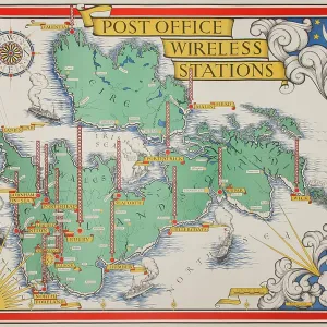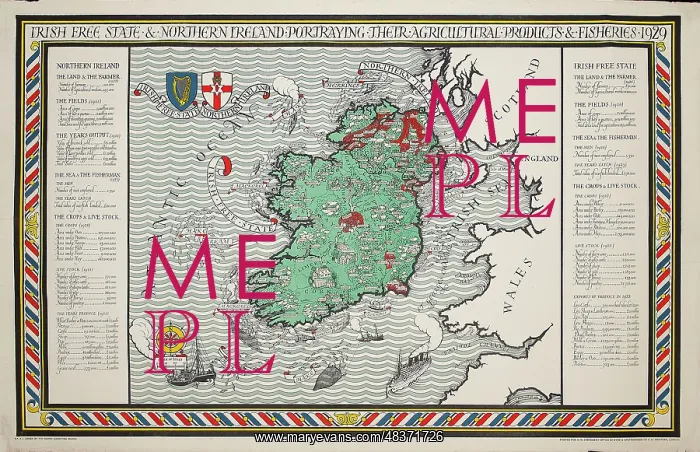
A Map of Irish Free State and Northern Ireland
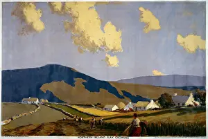
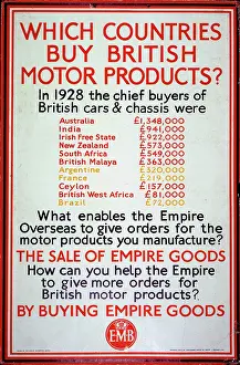
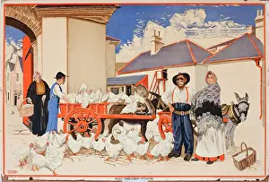
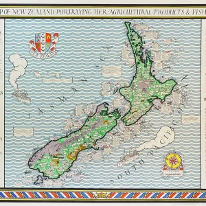
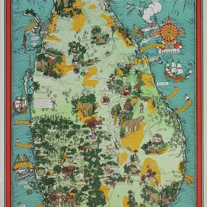
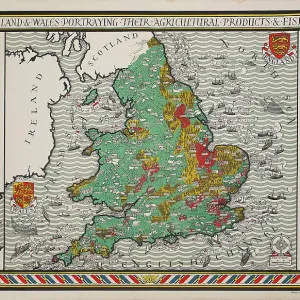
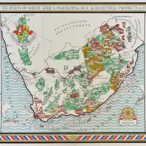
A truly outstanding, and large scale, Empire Marketing Board poster map designed by Leslie MacDonald ('Max') Gill. This design, for Northern Ireland and The Irish Free State, was published in 1929, as part of a series celebrating the produce of the British Isles and its Dominions (namely South Africa, Canada, New Zealand and Australia). They were intended for public display, often on specially erected hoardings. Today, these extremely scare and beautiful posters rarely appear on the market. This example came from the estate of MacDonald Gill and would have been retained as a reference copy
Picture No
13748184
Media ID
48371726
Size
4739px x 3061px
(3.8MB)
Credit
© The Twentieth Century Posters Collection / Mary Evans
Source
Designed by Leslie Macdonald Gill (1884-1947), published by Empire Marketing Board
Date
1929