
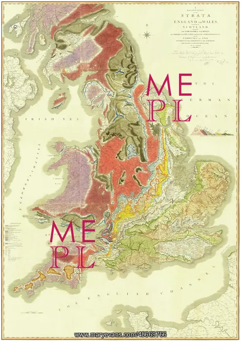
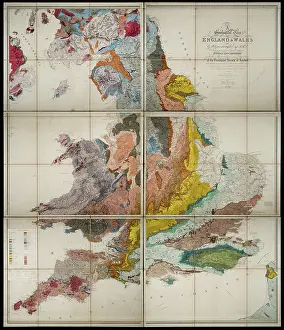
Delineation of the Strata of England and Wales - Smith
A Delineation of the Strata of England and Wales, with part of Scotland exhibiting the collieries and mines, the marshes and fen lands originally overflowed by the sea, and the varieties of soil according to the variations in the substrata, illustrated by the most descriptive names, published by John Cary, 1815. This map, by William Smith (1769-1839), is acknowledged as the first geological map of a country ever produced. Although there were geological maps in existence before this, these invariably only identified rocks by types and are therefore more accurately described as mineralogical maps. Smith's innovation was to attempt to classify rocks according to age and manner of deposition " that is stratigraphically
Pick your License
1815 Classification Classify Collieries Delineation Deposition Descriptive Exhibiting Geological Lands Manner Marshes Mines Names Overflowed Soil Strata Variations Varieties
Features In These Collections
> Contributors > GSO























![Earliest geological map of Ireland [1814]](/sq/800/earliest-geological-map-ireland-1814-48658336.jpg.webp "Earliest geological map of Ireland [1814]")



![Draft of the first geological map of Jersey [c.1828]](/sq/800/draft-first-geological-map-jersey-c1828-48658294.jpg.webp "Draft of the first geological map of Jersey [c.1828]")
![First geological map of Jersey [c.1828]](/sq/800/first-geological-map-jersey-c1828-48658274.jpg.webp "First geological map of Jersey [c.1828]")

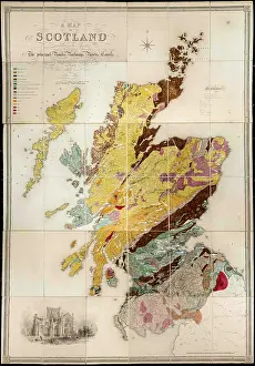
![First Geological Map of Scotland [1808]](/sq/800/first-geological-map-scotland-1808-48658245.jpg.webp "First Geological Map of Scotland [1808]")


