
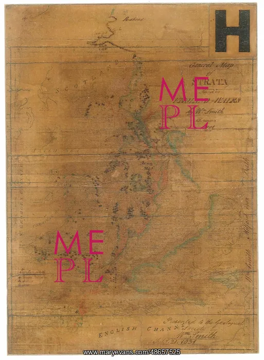
General map of strata found in England and Wales
General map of strata found in England and Wales, comprising geological colouring, by William Smith (1769-1839), on a printed index map of England and Wales from A general atlas by Robert Wilkinson, 1794. The map and two other items were presented to the Society by Smith, February 1831, in gratitude at being awarded the Society's first Wollaston Medal. An inscription by Smith is on the bottom right hand corner. Hand colouring on printed base map
Picture No
14160598
Media ID
48657525
Size
2903px x 3958px
(2.6MB)
Credit
© The Geological Society / Mary Evans
Source
Geological Society of London. Archive reference: LDGSL/740 - Image reference: 07-137
Date
1794 and 1801
Pick your License
1769-1839 1794 1801 1831 Atlas Colouring Comprising Geological Gratitude Index Strata Wilkinson Wollaston
Features In These Collections
> Contributors > GSO



















![Earliest geological map of Ireland [1814]](/sq/800/earliest-geological-map-ireland-1814-48658336.jpg.webp "Earliest geological map of Ireland [1814]")



![Draft of the first geological map of Jersey [c.1828]](/sq/800/draft-first-geological-map-jersey-c1828-48658294.jpg.webp "Draft of the first geological map of Jersey [c.1828]")
![First geological map of Jersey [c.1828]](/sq/800/first-geological-map-jersey-c1828-48658274.jpg.webp "First geological map of Jersey [c.1828]")

![First Geological Map of Scotland [1808]](/sq/800/first-geological-map-scotland-1808-48658245.jpg.webp "First Geological Map of Scotland [1808]")


