
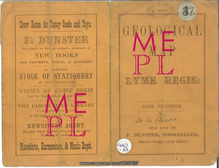
Geological map of the environs of Lyme Regis and Cover
Geological map of the environs of Lyme Regis, by Henry T. De La Beche [1796-1855]. The cover of De La Beche's guide to the geology of Lyme Regis at a scale of roughly 1 inch to the mile [1:63, 360]
Picture No
14160556
Media ID
48657597
Size
2725px x 2094px
(799KB)
Credit
© The Geological Society / Mary Evans
Source
Geological Society of London - Image reference: 07-85
Date
1826



















![Earliest geological map of Ireland [1814]](/sq/800/earliest-geological-map-ireland-1814-48658336.jpg.webp "Earliest geological map of Ireland [1814]")



![Draft of the first geological map of Jersey [c.1828]](/sq/800/draft-first-geological-map-jersey-c1828-48658294.jpg.webp "Draft of the first geological map of Jersey [c.1828]")
![First geological map of Jersey [c.1828]](/sq/800/first-geological-map-jersey-c1828-48658274.jpg.webp "First geological map of Jersey [c.1828]")

![First Geological Map of Scotland [1808]](/sq/800/first-geological-map-scotland-1808-48658245.jpg.webp "First Geological Map of Scotland [1808]")


