
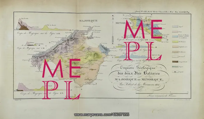
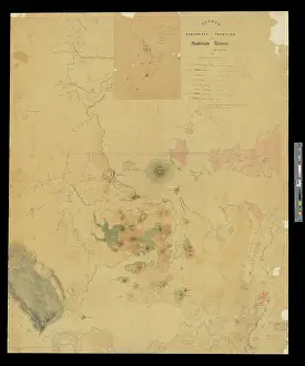
Geological map of Majorca and Minorca (Marmora 1834)
Esquisse Geologique des deux Iles Baleares Majorque et Minorque by Albert Marmora, 1834. Hand coloured engraving
Picture No
14160655
Media ID
48657995
Size
5354px x 3126px
(1.8MB)
Credit
© The Geological Society / Mary Evans
Source
Geological Society of London. Tract E142. - Image reference: 07-206
Date
1834
Pick your License
1834 Baleares Deux Geological Geologique Iles Majorca Majorque Marmora Minorca
Features In These Collections
> Contributors > GSO





















![Earliest geological map of Ireland [1814]](/sq/800/earliest-geological-map-ireland-1814-48658336.jpg.webp "Earliest geological map of Ireland [1814]")



![Draft of the first geological map of Jersey [c.1828]](/sq/800/draft-first-geological-map-jersey-c1828-48658294.jpg.webp "Draft of the first geological map of Jersey [c.1828]")
![First geological map of Jersey [c.1828]](/sq/800/first-geological-map-jersey-c1828-48658274.jpg.webp "First geological map of Jersey [c.1828]")

![First Geological Map of Scotland [1808]](/sq/800/first-geological-map-scotland-1808-48658245.jpg.webp "First Geological Map of Scotland [1808]")


