
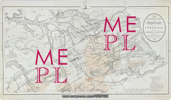
Geological map of the mining district of Cornwall
Geological map of the mining district of Cornwall between Camborne and Chasewater shewing the lodes, cross courses, adits, &c, by John Cary (1755-1835) for Richard Thomas (1779-1858). The map, along with two sections accompanied: Report On A Survey Of The Mining District Of Cornwall From Chasewater To Camborne (1819). Coloured engraving
Picture No
14160613
Media ID
48657682
Size
15787px x 9278px
(21.2MB)
Credit
© The Geological Society / Mary Evans
Source
Geological Society of London. Archive reference: LDGSL/404/1 - Image reference: 07-159
Date
1819
Pick your License
1819 Adits And C Camborne Chasewater Courses Geological Sections Shewing Survey
Features In These Collections
> Contributors > GSO



















![Earliest geological map of Ireland [1814]](/sq/800/earliest-geological-map-ireland-1814-48658336.jpg.webp "Earliest geological map of Ireland [1814]")



![Draft of the first geological map of Jersey [c.1828]](/sq/800/draft-first-geological-map-jersey-c1828-48658294.jpg.webp "Draft of the first geological map of Jersey [c.1828]")
![First geological map of Jersey [c.1828]](/sq/800/first-geological-map-jersey-c1828-48658274.jpg.webp "First geological map of Jersey [c.1828]")

![First Geological Map of Scotland [1808]](/sq/800/first-geological-map-scotland-1808-48658245.jpg.webp "First Geological Map of Scotland [1808]")


