

Geologische Elementarkarte, plate 3 (Klopfel, 1838)
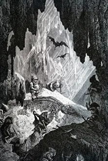
Uebergangs-und secundaere gebilde (Transition to Secondary structures), by H Klopfel for Im Verlage des Landes - Industrie - Comptoirs, Weimar. One of three sheets (probably from an original set of six) which were clearly devised to be seen together as at the top of each is a continuous ideal section of the Earth's crust intended to show the order of deposition of stratified rocks and their relations to unstratified rocks. Underneath are detailed lithographs of fossils, views and other geological images arranged according to the time period from which they originated. This plate shows Transition to Secondary structures, equivalent to the modern geological time terminology of Late Palaeozoic to Mesozoic eras. Hand coloured lithograph
Pick your License
1838 According Arranged Clearly Continuous Crust Deposition Detailed Devised Equivalent Eras Fossils Geological Ideal Industrie Intended Landes Lithographs Originated Palaeozoic Secondary Sheets Stratified Structures Terminology Transition Underneath
Features In These Collections
> Contributors > GSO




















![Earliest geological map of Ireland [1814]](/sq/800/earliest-geological-map-ireland-1814-48658336.jpg.webp "Earliest geological map of Ireland [1814]")



![Draft of the first geological map of Jersey [c.1828]](/sq/800/draft-first-geological-map-jersey-c1828-48658294.jpg.webp "Draft of the first geological map of Jersey [c.1828]")
![First geological map of Jersey [c.1828]](/sq/800/first-geological-map-jersey-c1828-48658274.jpg.webp "First geological map of Jersey [c.1828]")

![First Geological Map of Scotland [1808]](/sq/800/first-geological-map-scotland-1808-48658245.jpg.webp "First Geological Map of Scotland [1808]")


