
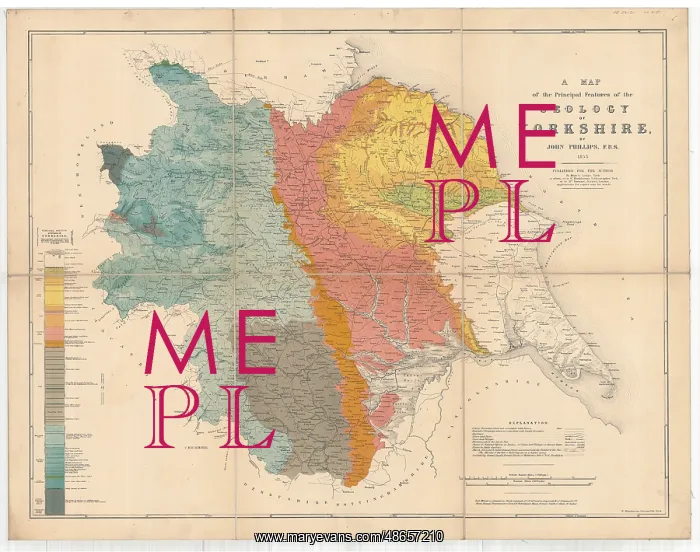
A Map of the Principal Features of the Geology of Yorkshire
A map of the principal features of the geology of Yorkshire, by John Phillips. Today divided into North, South and West Yorkshire, and the East Riding of Yorkshire. Geological map
Picture No
14160523
Media ID
48657210
Size
9720px x 7671px
(15.9MB)
Credit
© The Geological Society / Mary Evans
Source
Geological Society of London - Image reference: 07-11
Date
1853



















![Earliest geological map of Ireland [1814]](/sq/800/earliest-geological-map-ireland-1814-48658336.jpg.webp "Earliest geological map of Ireland [1814]")



![Draft of the first geological map of Jersey [c.1828]](/sq/800/draft-first-geological-map-jersey-c1828-48658294.jpg.webp "Draft of the first geological map of Jersey [c.1828]")
![First geological map of Jersey [c.1828]](/sq/800/first-geological-map-jersey-c1828-48658274.jpg.webp "First geological map of Jersey [c.1828]")

![First Geological Map of Scotland [1808]](/sq/800/first-geological-map-scotland-1808-48658245.jpg.webp "First Geological Map of Scotland [1808]")


