
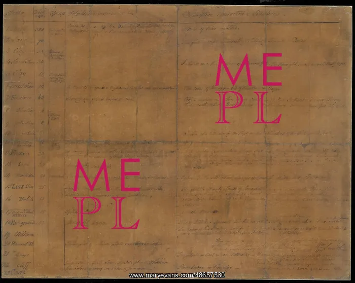
Table of Strata in the Vicinity of Bath
Manuscript table listing the strata in the vicinity of Bath by William Smith (1769-1839), and written to his dictation by the Reverend Benjamin Richardson (1758-1832). This unique, rather faded manuscript table is William Smith's first attempt to lay down the order of the layers or rock, or strata, which he observed in Bath. Dictated by Smith, and in the handwriting of the Reverend Benjamin Richardson, it was one of a number of items gifted by Smith to the Geological Society in 1831 in thanks to his being given the Wollaston Medal. Ink on paper
Picture No
14160600
Media ID
48657530
Size
5925px x 4717px
(5.3MB)
Credit
© The Geological Society / Mary Evans
Source
Geological Society of London. Archive reference: LDGSL/741 - Image reference: 07-139
Date
1799



















![Earliest geological map of Ireland [1814]](/sq/800/earliest-geological-map-ireland-1814-48658336.jpg.webp "Earliest geological map of Ireland [1814]")



![Draft of the first geological map of Jersey [c.1828]](/sq/800/draft-first-geological-map-jersey-c1828-48658294.jpg.webp "Draft of the first geological map of Jersey [c.1828]")
![First geological map of Jersey [c.1828]](/sq/800/first-geological-map-jersey-c1828-48658274.jpg.webp "First geological map of Jersey [c.1828]")

![First Geological Map of Scotland [1808]](/sq/800/first-geological-map-scotland-1808-48658245.jpg.webp "First Geological Map of Scotland [1808]")


