
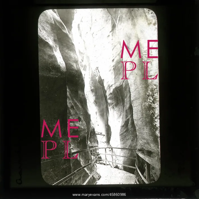
Aar Gorge, Switzerland
Aarschlucht. Meiringen, by Ananda Kentish Coomaraswamy. Photo of the Aar Gorge, Switzerland. The gorge through the limestone ridge was formed due to erosion by glacial meltwater at the end of the last ice age. The river Aar flows through the bottom of the narrow gorge. The public have been able to walk through the gorge via a series of paths, walkways and tunnels since 1888. Black and white photographic lantern slide
Picture No
14154346
Media ID
45860986
Size
1895px x 1888px
(469KB)
Credit
© The Geological Society / Mary Evans
Source
Geological Society of London. Archive reference: LDGSL/1088/AC/EUR/45 - Image reference: 05-17
Date
1890s-1900s
Pick your License
1890s-1900s Able Ananda Coomaraswamy Erosion Flows Formed Geological Glacial Gorge Kentish Limestone Meiringen Paths Ridge Tunnels Walkways
Features In These Collections
> Contributors > GSO



















![Earliest geological map of Ireland [1814]](/sq/800/earliest-geological-map-ireland-1814-48658336.jpg.webp "Earliest geological map of Ireland [1814]")



![Draft of the first geological map of Jersey [c.1828]](/sq/800/draft-first-geological-map-jersey-c1828-48658294.jpg.webp "Draft of the first geological map of Jersey [c.1828]")
![First geological map of Jersey [c.1828]](/sq/800/first-geological-map-jersey-c1828-48658274.jpg.webp "First geological map of Jersey [c.1828]")

![First Geological Map of Scotland [1808]](/sq/800/first-geological-map-scotland-1808-48658245.jpg.webp "First Geological Map of Scotland [1808]")


