
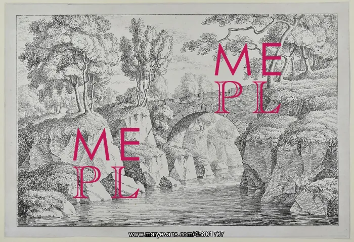
Bridge at Dunkeld
Stone bridge over a river, by John MacCulloch. Drawing of a stone bridge passing over a river in a wooded area in Dunkeld, near Perth, Scotland. It was produced by John MacCulloch, a geologist who produced one of the first geological maps of Scotland. Drawing
Picture No
14154477
Media ID
45801737
Size
4842px x 3305px
(2.9MB)
Credit
© The Geological Society / Mary Evans
Source
Geological Society of London. Archive reference: LDGSL/78/2/8 - Image reference: 09-16
Date
1822-1826
Pick your License
Dunkeld Geological Geologist Macculloch Perth Wooded
Features In These Collections
> Contributors > GSO



















![Earliest geological map of Ireland [1814]](/sq/800/earliest-geological-map-ireland-1814-48658336.jpg.webp "Earliest geological map of Ireland [1814]")



![Draft of the first geological map of Jersey [c.1828]](/sq/800/draft-first-geological-map-jersey-c1828-48658294.jpg.webp "Draft of the first geological map of Jersey [c.1828]")
![First geological map of Jersey [c.1828]](/sq/800/first-geological-map-jersey-c1828-48658274.jpg.webp "First geological map of Jersey [c.1828]")

![First Geological Map of Scotland [1808]](/sq/800/first-geological-map-scotland-1808-48658245.jpg.webp "First Geological Map of Scotland [1808]")


