
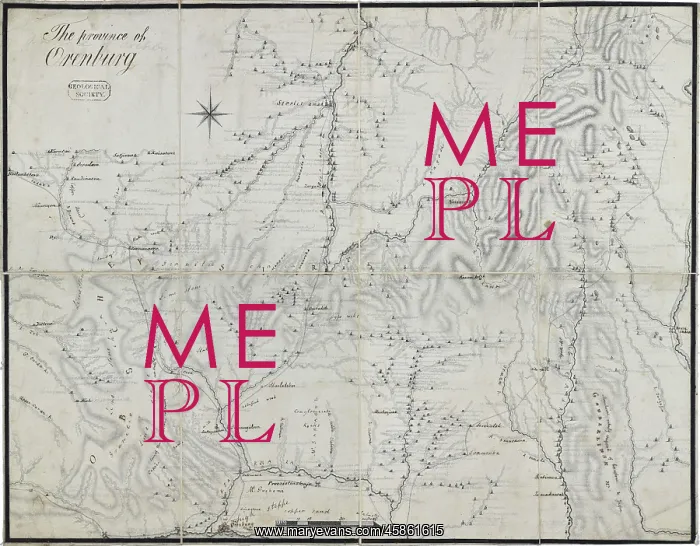
Map of the Province of Orenburg
Map of the Province of Orenburg, by William Thomas Horner Fox Strangways, later 4th Earl of Ilchester (1795-1865). Engraved, topographical base map entitled Province of Orenburg, (Russia), with multiple pencil annotations in an unknown Russian hand, some of which have been overwritten in ink by William Thomas Horner Fox Strangways, which was copied from (Benedikt Franz Johann von) Hermann's collection, (1816-1820). Engraved base on paper with pencil annotations
Picture No
14154450
Media ID
45861615
Size
8882px x 6930px
(8.9MB)
Credit
© The Geological Society / Mary Evans
Source
Geological Society of London. Archive reference: LDGSL/995-4 - Image reference: 08-20
Date
1816-1820



















![Earliest geological map of Ireland [1814]](/sq/800/earliest-geological-map-ireland-1814-48658336.jpg.webp "Earliest geological map of Ireland [1814]")



![Draft of the first geological map of Jersey [c.1828]](/sq/800/draft-first-geological-map-jersey-c1828-48658294.jpg.webp "Draft of the first geological map of Jersey [c.1828]")
![First geological map of Jersey [c.1828]](/sq/800/first-geological-map-jersey-c1828-48658274.jpg.webp "First geological map of Jersey [c.1828]")

![First Geological Map of Scotland [1808]](/sq/800/first-geological-map-scotland-1808-48658245.jpg.webp "First Geological Map of Scotland [1808]")


