
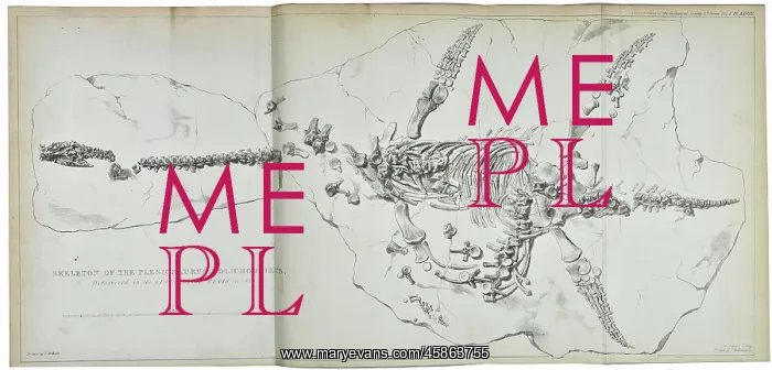
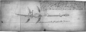
Plesiosaurus dolichodeirus
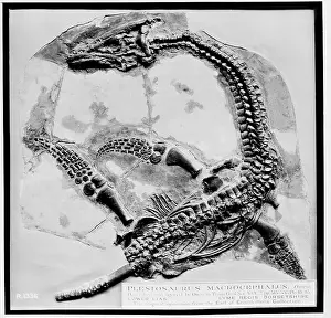
Plesiosaurus dolichodeirus, by W D Conybeare. Image of the first articulated plesiosaur which was discovered by Mary Anning (1799-1847) on 10 December 1823. The fossil was bought by the Duke of Buckingham for around 150 guineas. It was purchased by British Museum from his estate in 1848 and can now be found at the Natural History Museum. Lithograph
Picture No
14154645
Media ID
45863755
Size
8107px x 3888px
(3.1MB)
Credit
© The Geological Society / Mary Evans
Source
Geological Society of London. Conybeare, W D, aeOn the Discovery of an almost perfect Skeleton of the Plesiosaurusn, Transactions of the Geological Society of London, Series 2, vol 1 (1824), pp381-389 - Image reference: 27-13
Date
1824
Pick your License
1799-1847 1823 1824 Anning Articulated Bought Conybeare Discovered Dolichodeirus Guineas Plesiosaur Plesiosaurus Purchased
Features In These Collections
> Contributors > GSO






















![Earliest geological map of Ireland [1814]](/sq/800/earliest-geological-map-ireland-1814-48658336.jpg.webp "Earliest geological map of Ireland [1814]")



![Draft of the first geological map of Jersey [c.1828]](/sq/800/draft-first-geological-map-jersey-c1828-48658294.jpg.webp "Draft of the first geological map of Jersey [c.1828]")
![First geological map of Jersey [c.1828]](/sq/800/first-geological-map-jersey-c1828-48658274.jpg.webp "First geological map of Jersey [c.1828]")

![First Geological Map of Scotland [1808]](/sq/800/first-geological-map-scotland-1808-48658245.jpg.webp "First Geological Map of Scotland [1808]")


