
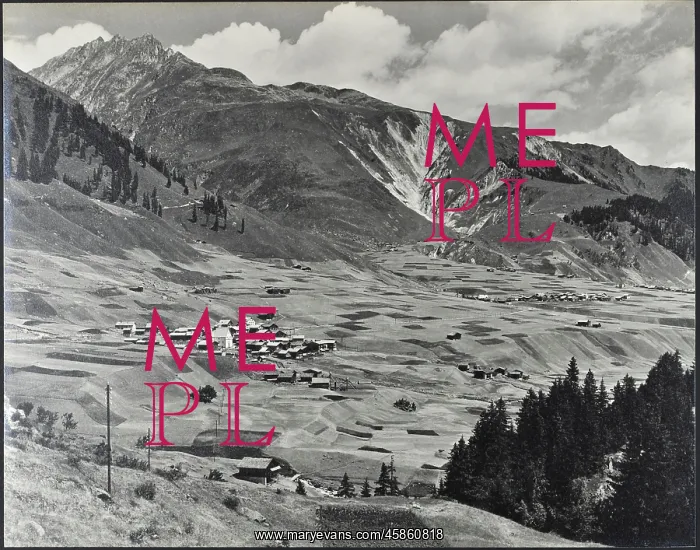
The Tobel Drun and the villages
Photograph, captioned 30. The Tobel Drun and the villages of Rueras, Zarcuns, Camischolas and Sedrun from a point on the Oberalp road between Rueras and the chapel of S. Brida (St. Brigitta) by, Frederick Noel Ashcroft (1878-1949). Black and white photograph
Picture No
14154321
Media ID
45860818
Size
4340px x 3409px
(2.3MB)
Credit
© The Geological Society / Mary Evans
Source
Geological Society of London. Archive reference: LDGSL/1022/30 - Image reference: 05-105
Date
1921-1938
Pick your License
1878-1949 Ashcroft Brigitta Captioned Geological Villages
Features In These Collections
> Contributors > GSO



















![Earliest geological map of Ireland [1814]](/sq/800/earliest-geological-map-ireland-1814-48658336.jpg.webp "Earliest geological map of Ireland [1814]")



![Draft of the first geological map of Jersey [c.1828]](/sq/800/draft-first-geological-map-jersey-c1828-48658294.jpg.webp "Draft of the first geological map of Jersey [c.1828]")
![First geological map of Jersey [c.1828]](/sq/800/first-geological-map-jersey-c1828-48658274.jpg.webp "First geological map of Jersey [c.1828]")

![First Geological Map of Scotland [1808]](/sq/800/first-geological-map-scotland-1808-48658245.jpg.webp "First Geological Map of Scotland [1808]")


