
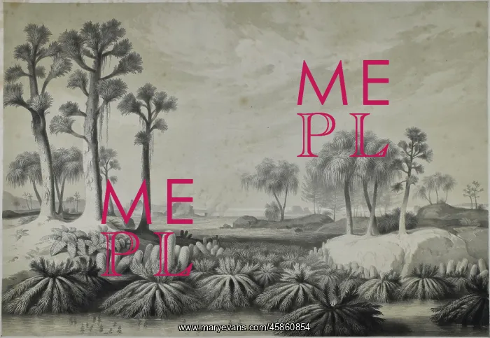
Ubergangsformation
Ubergangsformation (Transition formation), by Leopold Rottman after the original watercolour by Joseph Kuwasseg. Reconstruction of plant life in the Ubersgang formation (Upper Carboniferous period), for Franz Joseph Andreas Nicholaus Unger (1800-1870). Lithograph on paper
Picture No
14154325
Media ID
45860854
Size
4039px x 2787px
(1.5MB)
Credit
© The Geological Society / Mary Evans
Source
Geological Society of London. Archive reference: LDGSL/568 - Image reference: 05-109
Date
1849
Pick your License
Andreas Carboniferous Geological Nicholaus Rottman Transition Unger
Features In These Collections
> Contributors > GSO



















![Earliest geological map of Ireland [1814]](/sq/800/earliest-geological-map-ireland-1814-48658336.jpg.webp "Earliest geological map of Ireland [1814]")



![Draft of the first geological map of Jersey [c.1828]](/sq/800/draft-first-geological-map-jersey-c1828-48658294.jpg.webp "Draft of the first geological map of Jersey [c.1828]")
![First geological map of Jersey [c.1828]](/sq/800/first-geological-map-jersey-c1828-48658274.jpg.webp "First geological map of Jersey [c.1828]")

![First Geological Map of Scotland [1808]](/sq/800/first-geological-map-scotland-1808-48658245.jpg.webp "First Geological Map of Scotland [1808]")


