
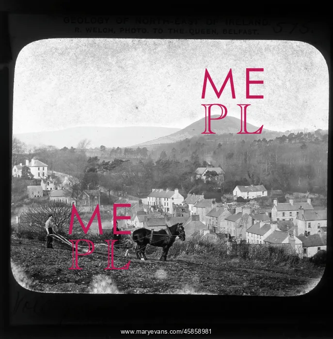
Volcanic neck, Cushendall
Geology of NE Ireland: Volcanic neck Cushendall penetrating Old Red Sandstone, by Robert John Welch. The image shows the village and townland of Cushendall, in Northern Ireland, with a volcanic neck or plug in the background, formed when magma hardens in a volcanic vent. Black and white photographic lantern slide
Picture No
14154142
Media ID
45858981
Size
1846px x 1881px
(455KB)
Credit
© The Geological Society / Mary Evans
Source
Geological Society of London. Archive reference: LDGSL/1088/RW/7 - Image reference: 02-14
Date
1890s-1900s
Pick your License
1890s-1900s Cushendall Formed Geological Hardens Magma Penetrating Plug Sandstone Structures Vent Volcanic Volcanoes Welch
Features In These Collections
> Contributors > GSO



















![Earliest geological map of Ireland [1814]](/sq/800/earliest-geological-map-ireland-1814-48658336.jpg.webp "Earliest geological map of Ireland [1814]")



![Draft of the first geological map of Jersey [c.1828]](/sq/800/draft-first-geological-map-jersey-c1828-48658294.jpg.webp "Draft of the first geological map of Jersey [c.1828]")
![First geological map of Jersey [c.1828]](/sq/800/first-geological-map-jersey-c1828-48658274.jpg.webp "First geological map of Jersey [c.1828]")

![First Geological Map of Scotland [1808]](/sq/800/first-geological-map-scotland-1808-48658245.jpg.webp "First Geological Map of Scotland [1808]")


