
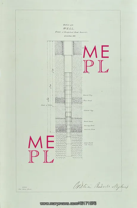
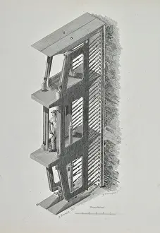
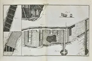
Section of a well sunk at Hampstead Road Reservoir
Print of a Section of a well sunk at Hampstead Road Reservoir, London 1838, by Robert William Mylne (1817-1890). Probably related to: Mylne, R W. On the supply of water from artesian wells in the London Basin. Transactions of the Institution of Civil Engineers, vol 3 (1842), pp229-244. Lithograph
Picture No
14154442
Media ID
46171976
Size
3688px x 5608px
(1.7MB)
Credit
© The Geological Society / Mary Evans
Source
Geological Society of London. Archive reference: LDGSL/445 - Image reference: 08-12
Date
circa 1840





















![Earliest geological map of Ireland [1814]](/sq/800/earliest-geological-map-ireland-1814-48658336.jpg.webp "Earliest geological map of Ireland [1814]")



![Draft of the first geological map of Jersey [c.1828]](/sq/800/draft-first-geological-map-jersey-c1828-48658294.jpg.webp "Draft of the first geological map of Jersey [c.1828]")
![First geological map of Jersey [c.1828]](/sq/800/first-geological-map-jersey-c1828-48658274.jpg.webp "First geological map of Jersey [c.1828]")

![First Geological Map of Scotland [1808]](/sq/800/first-geological-map-scotland-1808-48658245.jpg.webp "First Geological Map of Scotland [1808]")


