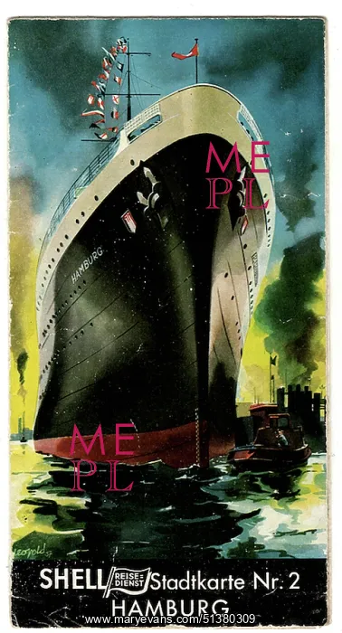
Shell Reisedienst Stadtkarte Nr. 2 - Hamburg
Shell Reisedienst Stadtkarte Nr. 2 - Hamburg, German tourist map pamphlet, late 1930s. Illustrated travel brochure and large fold-out city map of Hamburg issued by the Shell Travel Service (Shell Reisedienst), part of the German oil company Rhenania-Ossag. The cover features a dramatic depiction of an ocean liner entering Hamburg harbour, emphasising the city's role as Germany's principal maritime and commercial port. Interior pages combine descriptive text, photographic views and illustrated scenes of the city, including harbour activity, civic architecture and nearby destinations such as Blankenese and Heligoland. A photograph of the modern Shell-Haus headquarters highlights the company's industrial presence. The pamphlet unfolds into a detailed street map of Hamburg, reflecting the growth of automobile tourism and urban navigation. As a pre-war publication, it also provides a visual record of Hamburg prior to the extensive destruction caused by Allied bombing during the Second World War
Pick your License
Blankenese Brochure Corporate Ephemera Fold-out Haus Heligoland Interwar Modernism Petrol Pre-war
Features In These Collections
> Contributors > WIN